
C O N S T R U C T I O N S E R V I C E S
Drones
in
Construction
Construction is one of the fastest-growing industries actively adopting drone services, with companies seeing huge gains from incorporating drones into their workflows.
Aerial data collection offers companies a unique perspective and can provide safe, fast and accurate monitoring of progress, aiding in the early detection of errors. With the use of cloud based software data collected can easily be shared across teams and shareholders, instantly streamlining communication and decision making processes.
With the latest innovations in drone photogrammetry, we can now create accurate, real time 2D & 3D maps and models, bringing construction into the digital age.
A picture says a thousand words, and can potentially save your business hundreds of thousands of pounds over the course of a project.

Deliverables

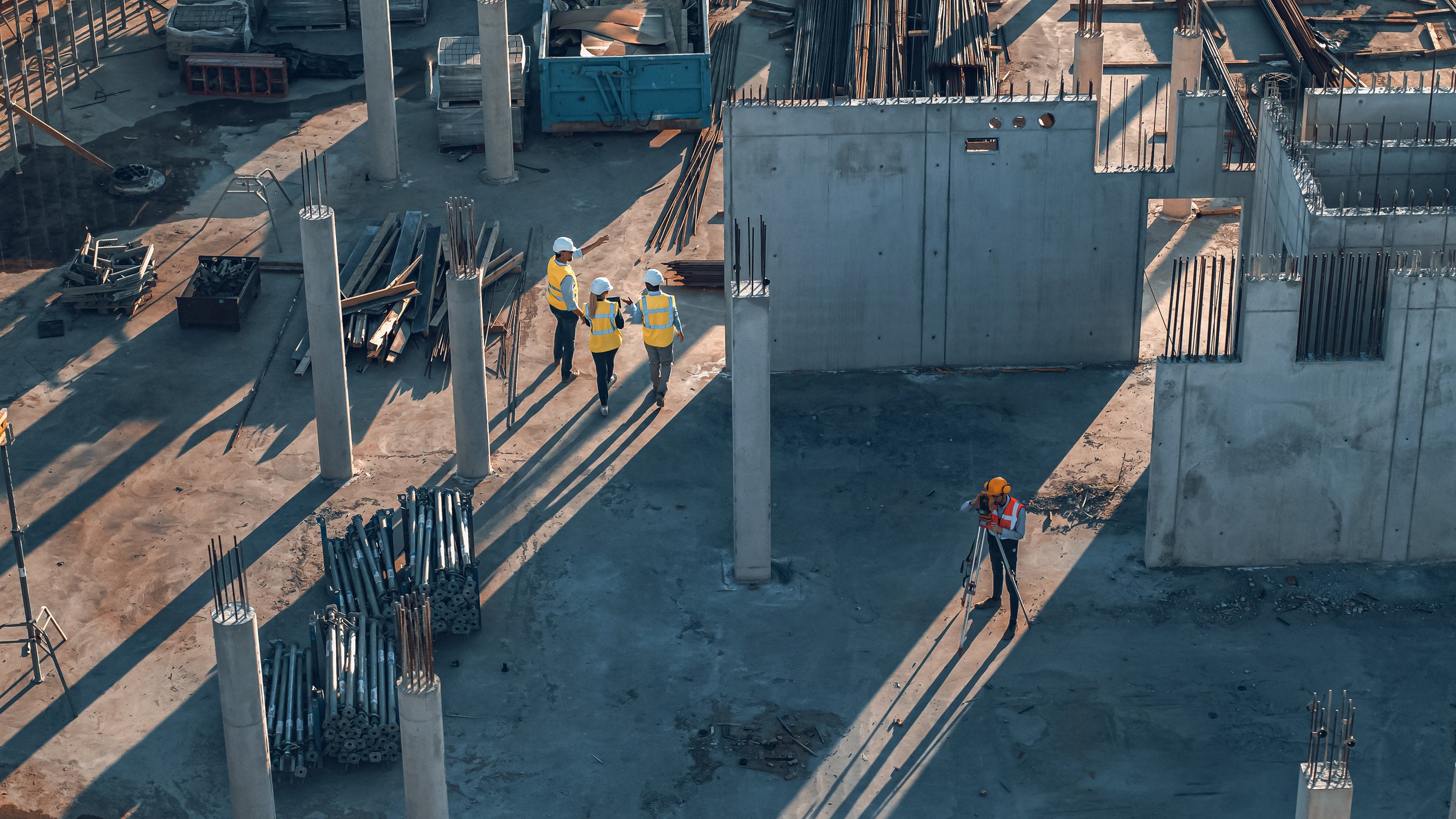
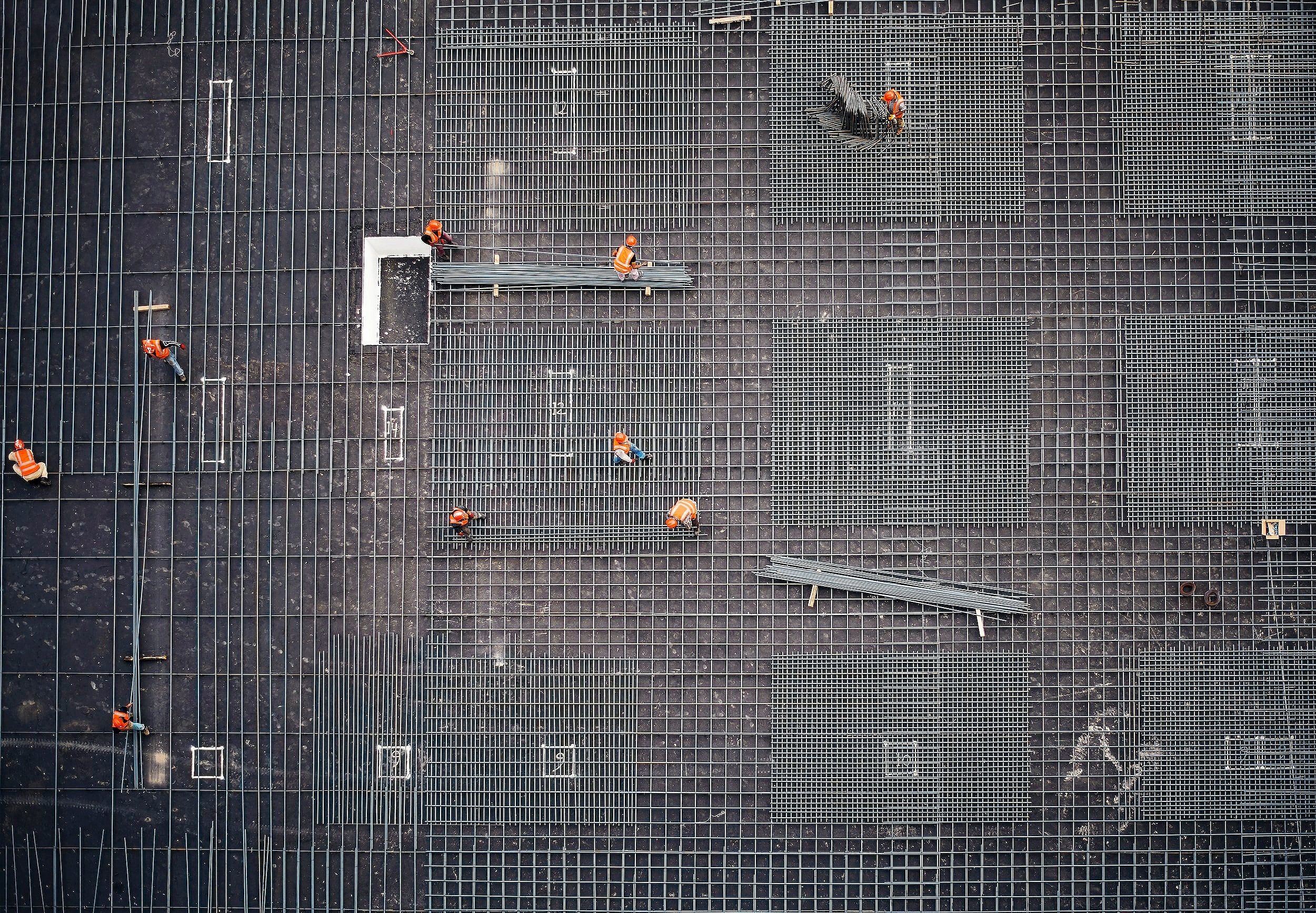
Site Progress Monitoring

Our site progress monitoring is made possible through the use of periodic aerial imagery, video, and data collection.
Typically taken on a weekly, bi-weekly, or monthly basis, this data allows for the visualisation of site progress across project teams and shareholders, without the need for prolonged and potentially hazardous site visits.
CAPTURE offers bespoke packages designed based on each clients unique requirements, from ultra high definition imagery to photogrammetry and mapping. Our services aim to streamline communication and decision-making processes throughout each project. This valuable real time data, can easily be shared amongst project teams and stakeholders.
Click the button below to see how we can support your business.
4K AERIAL IMAGERY

SHARE DATA INSTANTLY
REAL - TIME DATA
Drone Photogrammetry & 3D Modelling

Orthomosaic Image of Grosnez Castle
CAPTURE brings the latest innovations in drone technology to Jersey and the Channel Islands. With help from our RTK (real time kinematic) enabled enterprise drones and state of the art photogrammetry software, we are able to create accurate, high resolution 3D models of real world environments. Drone Photogrammetry opens up limitless opportunities for improved efficiencies across a wide range of industries.
All our data products can be easily shared using cloud based software.
For more information on our photogrammetry products click here, or use the button below to contact us for a free consultation.
REAL TIME DATA
HIGH ACCURACY
COST EFFECTIVE
QUICK
FACTS
Adoption of drones in construction: According to a report by the NEXA Advisors, the construction industry is one of the fastest-growing adopters of commercial drones, with a projected compound annual growth rate (CAGR) of 22.8% from 2020 to 2027.
Benefits of using drones in construction: A study by PwC found that using drones in construction can reduce site surveying time by up to 90%, increase site inspection speed by 70%, and reduce the potential for accidents by 60%.
Cost savings: A report by MarketsandMarkets estimated that the use of drones in construction could result in cost savings of up to $11.2 billion globally in 2023.
Efficient data collection: Drone technology allows for the collection of high-resolution data in a matter of hours, compared to days for traditional methods, as stated in a report by the Association for Unmanned Vehicle Systems International.