
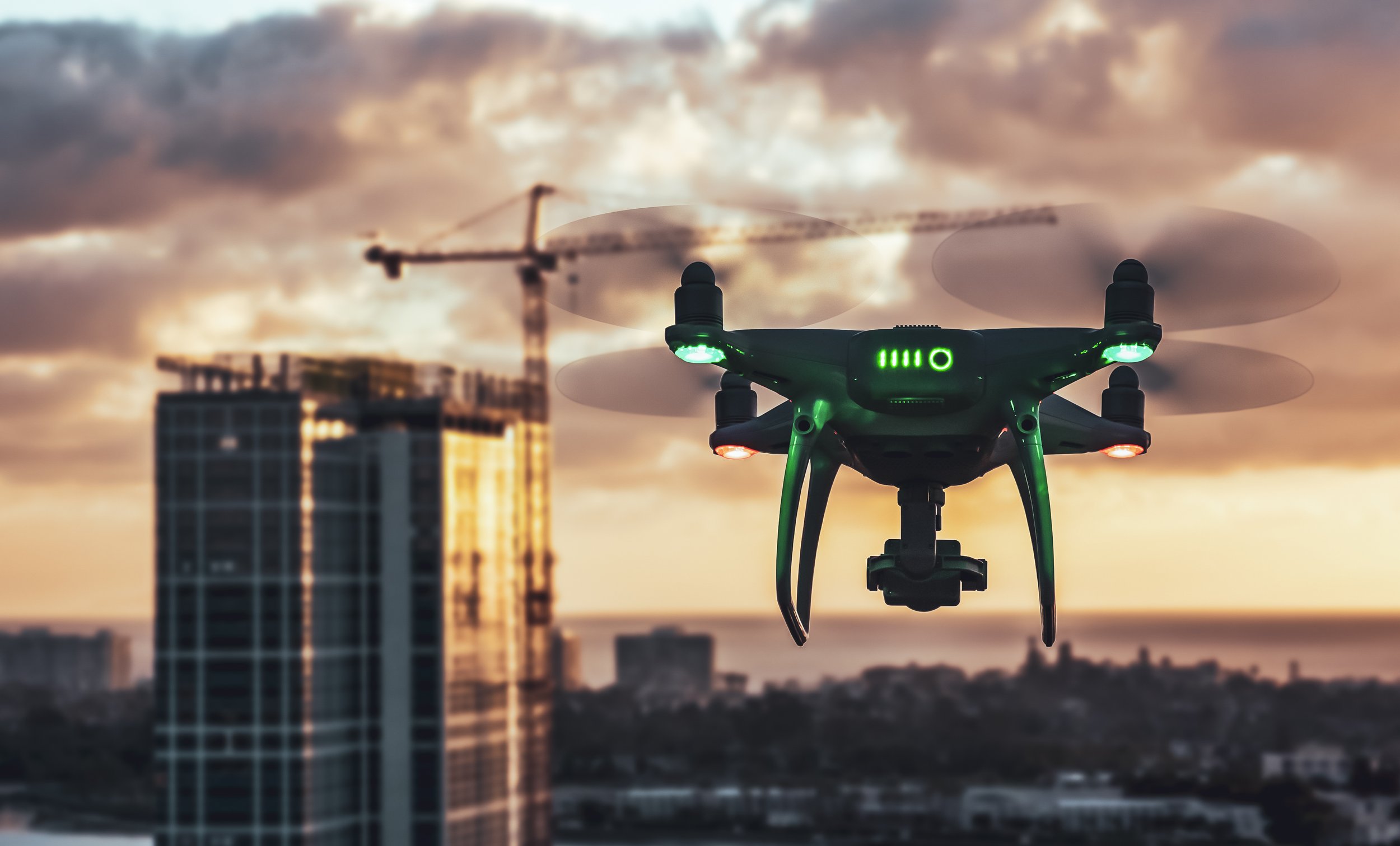
Photogrammetry & 3D Modelling
Through the use of advanced technology and specialist software, industries world-wide are digitalising assets to help build a better understanding of the world around them.
CAPTURE
PROCESS
ANALYSE
SHARE

Benefits of digital assets…
Reducing costs

Improving effiencies
Share data instantly

Deliverables

Through advanced technologies and specialised software we are able to offer clients unique insights and actionable intelligence of their projects or assets.
Highly detailed digital assets offered in a variety of file formats offer the ability to analyse the data in your chosen software.
Construction and infrastructure
Architectural and historical preservation
Emergency Response and Disaster Management Planning
Habitat and environmental management
3D Modelling & Asset Digitilisation

To view to 3D Model click here.
Through advanced technology and specialist software we can create highly detailed 3D models of environments, asset and projects.
These digital assets have a range of uses from integrating immersive experiences into web browsers to showcase assets, to extracting specific job site data such as measurements, volumes etc.
Our assets can be imported straight into rending software such as Unreal Engine and Twin Motion and we offer a range of different file formats to suit your business operations.
2D Orthomosaic
Below - Google maps vs High Resolution Orthomosaic image
Ultra high definition 2D maps, otherwise known as orthomosaics offer a real time, real world high resolution view of a project / environment.
They offer a unique, high resolution top down perspective allowing teams to identify potential errors. They can also be used as a CAD (computer aided design) overlay, and can aid in public safety and urban planning.